If you're planning to build, carry out additions or subdivide, someone will eventually ask you for a topographic survey. It's usually the architect, and it's normally in the early stages of the project.
Here's what it is and why it comes first.
A topographic survey accurately measures the three-dimensional position of everything on your site. Not just the ground, but the features on it.
That typically includes:
The result is a plan showing what is actually there, in three dimensions, that everyone working on your project can design from.
Levels determine how a building sits on the ground, where the floor levels go, how much cut and fill is needed, and whether the driveway will work. Getting this wrong on paper is cheap. Getting it wrong on site is not.
Boundaries determine where you can build. Setback rules, height to boundary planes and site coverage calculations are all measured from the topographic survey.
Existing features determine what needs to be worked around. A protected tree, a retaining wall on the neighbour's side, or a drain running through the middle of the site all shape a design, and it's better to know at the sketch stage.
Resource consent and building consent applications both require accurate site information. Council is checking that your proposal complies with the rules, and they can only do that against measured data.
Applications submitted without adequate survey information tend to come back with a request for further information, which costs time.
Designing a new dwelling. Effectively always. Your architect will ask for it before they start.
Alterations and additions. Usually, particularly if the work is near a boundary, changes the building height, or involves any change in level.
Resource or building consent applications. Almost always required.
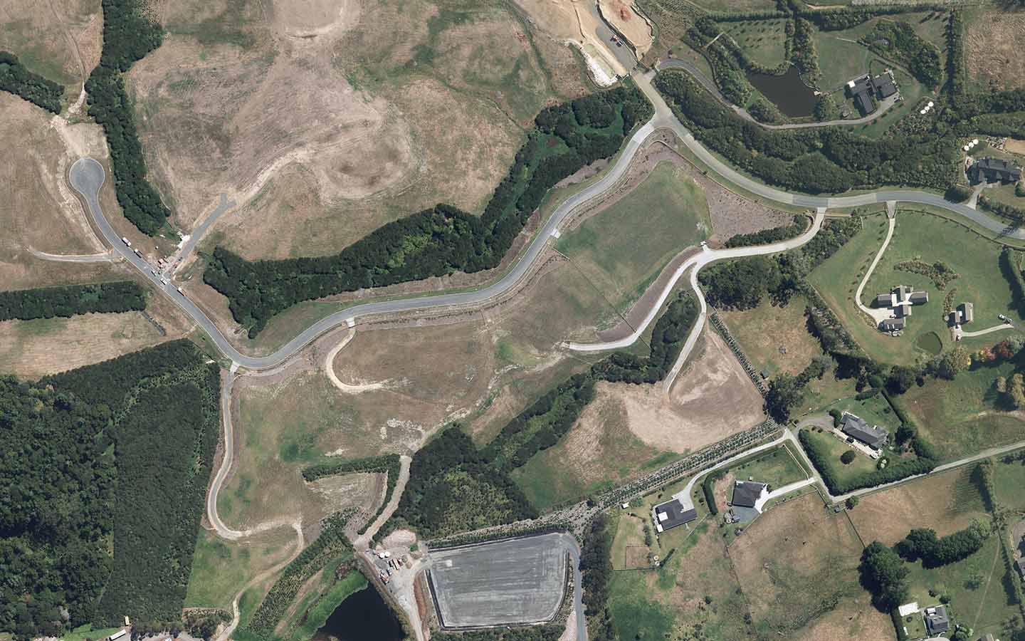
Subdivisions and land development. The topographic survey is the first stage of the project, and everything else is designed from it.
Feasibility assessment. If you're deciding whether a site will work for what you have in mind, a survey answers the question before you spend money on design.
If you're doing internal work with no change to the building footprint, no change in height and no consent application, you probably don't need one.
If a recent survey exists, it may still be usable. Site conditions change, but a survey from a few years ago on a site where nothing has happened is worth checking before commissioning a new one.
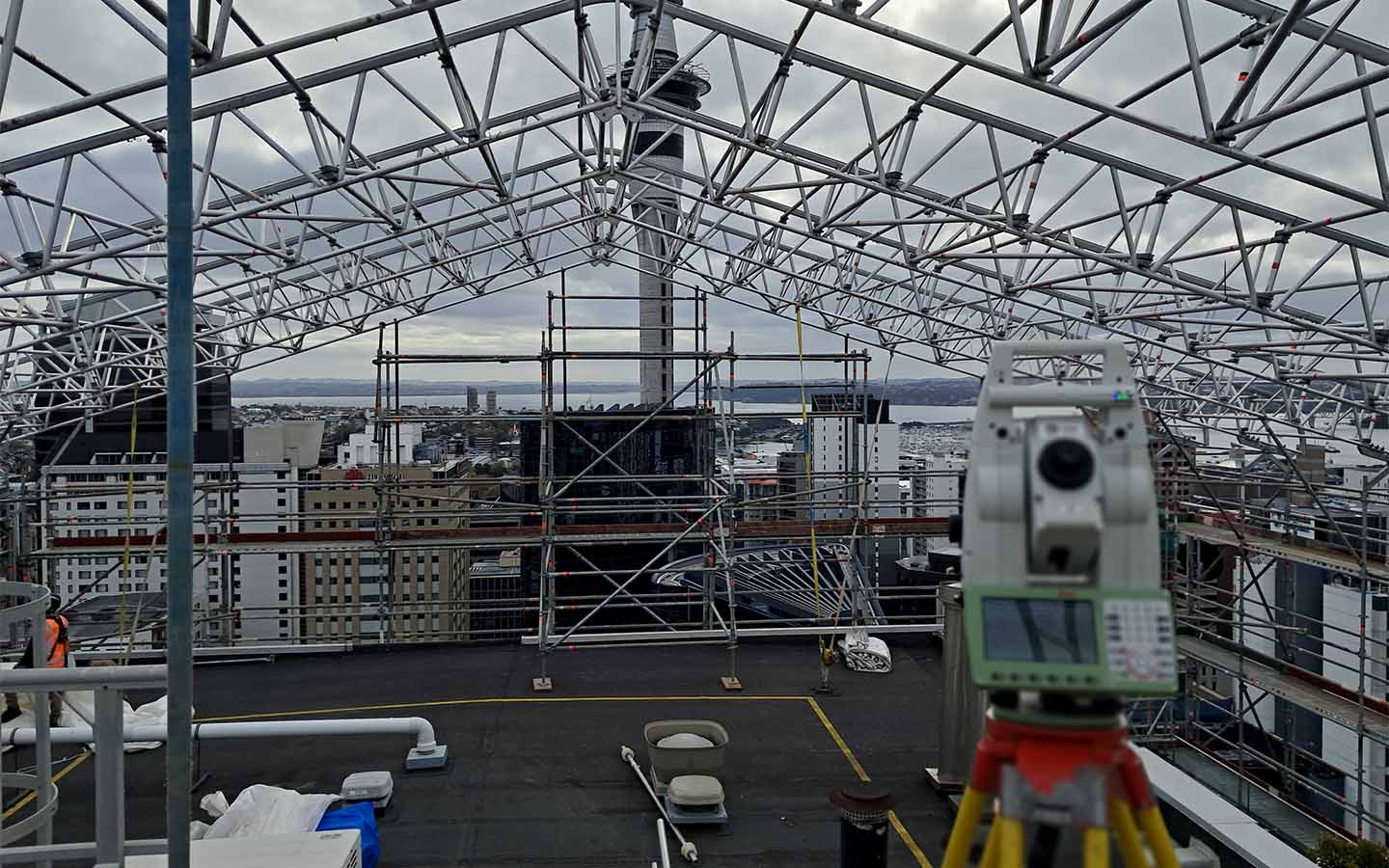
We attend the site with survey instruments, typically a total station or GPS equipment, and measure the features and levels across the property. A standard residential site is generally a matter of hours rather than days.
Access matters. We need to get to the areas being surveyed, so overgrown sections, locked gates or dogs are worth mentioning.
The plan is then drawn up and issued in the format your architect or engineer needs, usually as a digital file they can work directly into their drawings.
A topographic survey shows where your boundaries are based on the survey records. If you need those boundaries physically marked on the ground, for fencing or because a structure is going close to the line, that's a boundary redefinition, which is a related but separate piece of work.
It's often sensible to do both at once, since the surveyor is already on site.
If your architect has asked for a topographic survey, send us the property address and we'll tell you what's involved. If you're at an earlier stage and not sure whether you need one, tell us what you're planning and we'll give you a straight answer.