
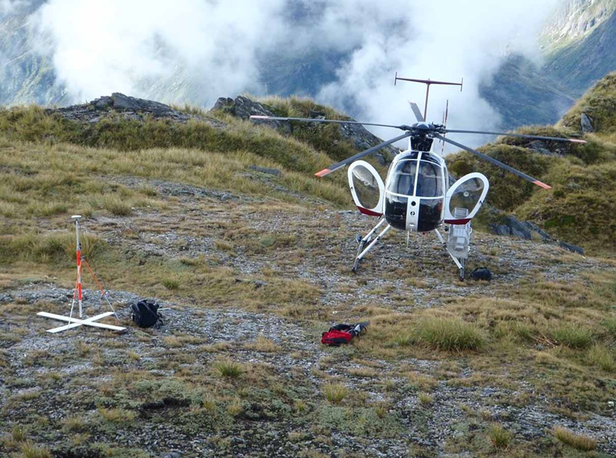
Photo control surveys establish accurately surveyed ground control points to align aerial imagery.
Photo control surveys are required to accurately position points on the ground in which to align the aerial mapping to. Without this survey, aerial imagery may be shifted, rotated, or distorted resulting in unreliable mapping, terrain models and measurements.
Generally required for



