
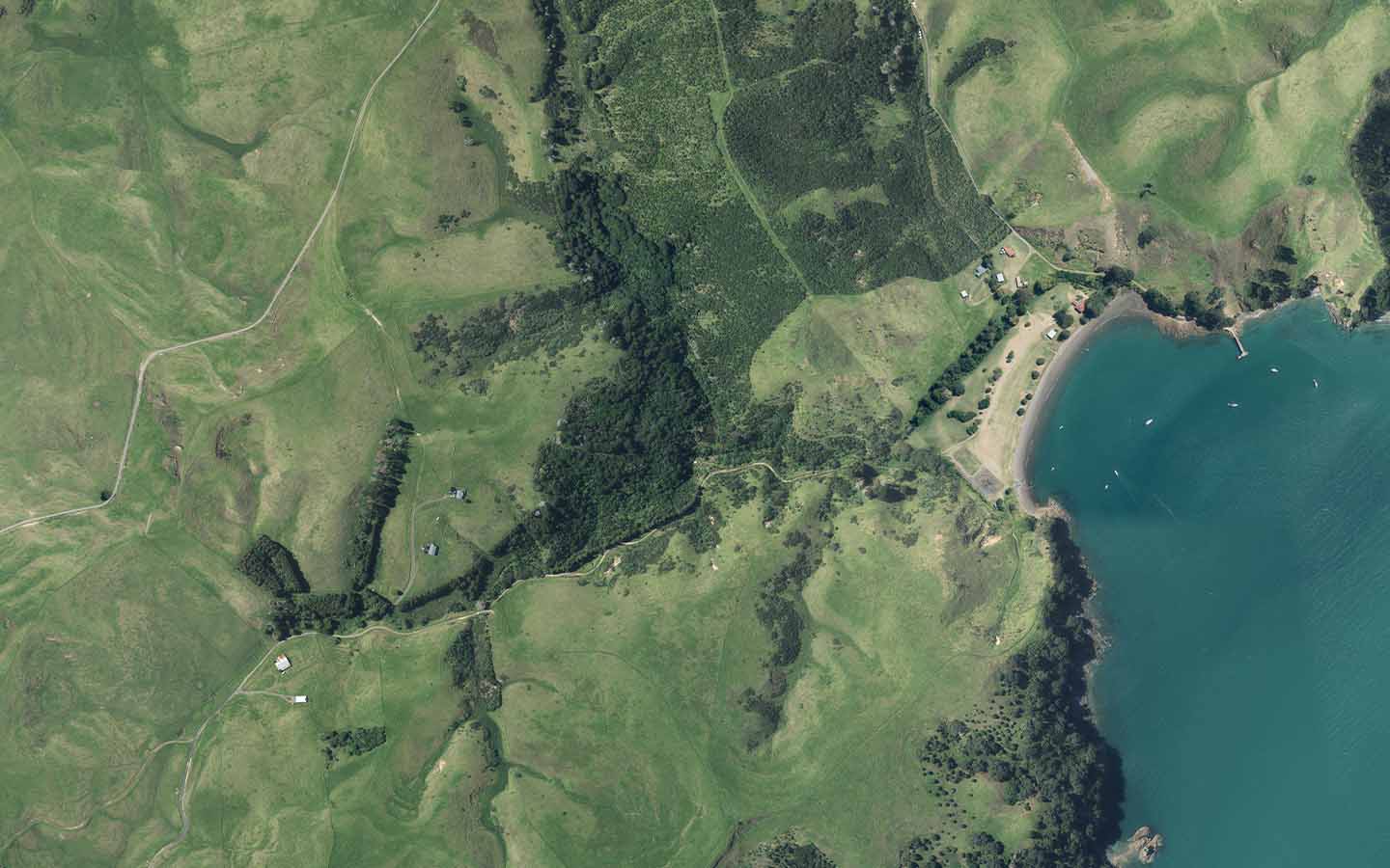
A topographic survey maps your site in three dimensions, giving architects, engineers, planners, landscape designers and council exactly what they need to work from.
A topographic survey accurately measures the 3D positions of a site's physical features, such as buildings, fences, retaining walls, trees and utility services. Contours are often generated from the survey data, and the result becomes the base plan that design and consent work is built on.
Generally required for



