Most people assume the fence marks the boundary. It is a reasonable assumption, and wrong often enough to cause real problems.
Fence lines and legal boundaries are two different things. One is a physical object someone built at some point. The other is a legal line defined by survey and recorded with Land Information NZ. They sometimes coincide, frequently they don't.
There are a few common reasons a fence ends up somewhere other than the boundary.
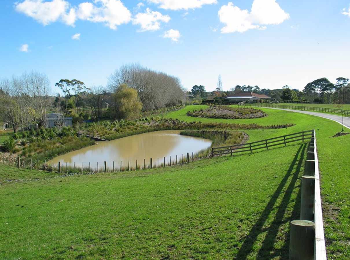
It was never on the boundary. Fences get put up by agreement, by eye, or by whoever got there first. On older properties, particularly rural ones, the fence may have been positioned for practical reasons like following a contour or working around a tree, with no reference to the survey at all.
It's been replaced. When a fence is rebuilt, it's usually rebuilt along the line of the old one. If the old one was out, the new one inherits the error, and each replacement can shift it further.
The ground moved. Slips, subsidence, and slow creep on sloping sites all move physical structures. The legal boundary stays where it is.
Someone made an assumption. A retaining wall, a hedge or a driveway edge gets treated as the boundary because it looks like one, and over time everyone accepts it.
None of this means anyone did anything wrong. It just means the fence isn't evidence of where your boundary runs.
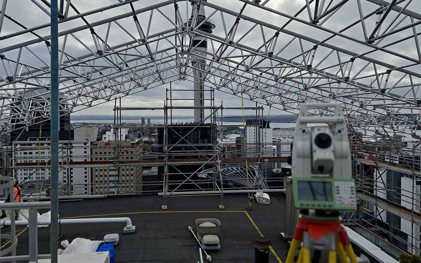
A boundary redefinition survey establishes where your legal boundaries are and marks them on the ground.
The work starts with the records. We obtain the survey plans and title documents for your property and the ones around it, and look at how the boundaries were originally defined. Older properties can involve survey records going back a century or more.
We then survey the site, locating existing survey marksfrom approved survey information. Where the original boundary marks have been lost or disturbed, the boundary is re-established from the surrounding survey network.
Finally, we mark the boundary on the ground with pegs or other suitable marks, so you can see exactly where the line runs.
Before you build a fence. Putting a new fence on the wrong line is expensive to undo, and awkward if your neighbour paid half.
Before an addition or alteration near a boundary. Council setback rules are measured from the legal boundary, not the fence. If you're designing to the minimum, a few hundred millimetres matters.
When there's a dispute. If you and your neighbour disagree about where the line runs, a survey settles it with evidence rather than opinion.
Before you buy. If something about a property's layout looks odd, or a structure appears to sit very close to a boundary, it's worth knowing before you commit.
A boundary redefinition survey tells you where the boundary is. It does not move it, and it doesn't resolve who owns what if a structure turns out to be on the wrong side. That's a legal question, and depending on the situation and how long the structure has been there, your solicitor may need to be involved.
It's also worth saying that finding a fence is out by a small margin doesn't usually mean anything has to change. Plenty of neighbours carry on quite happily with a fence that isn't quite on the line. The value of the survey is knowing, so that when a decision does need making, it's made on facts.
A boundary redefinition survey on a straightforward urban property is usually a straight-forward job. Rural properties, older titles and sites where the original marks have been lost take longer, because there's more record work and a wider area to survey.
If you're not sure whether you need one, tell us what you're planning, and we'll tell you whether a survey is warranted.