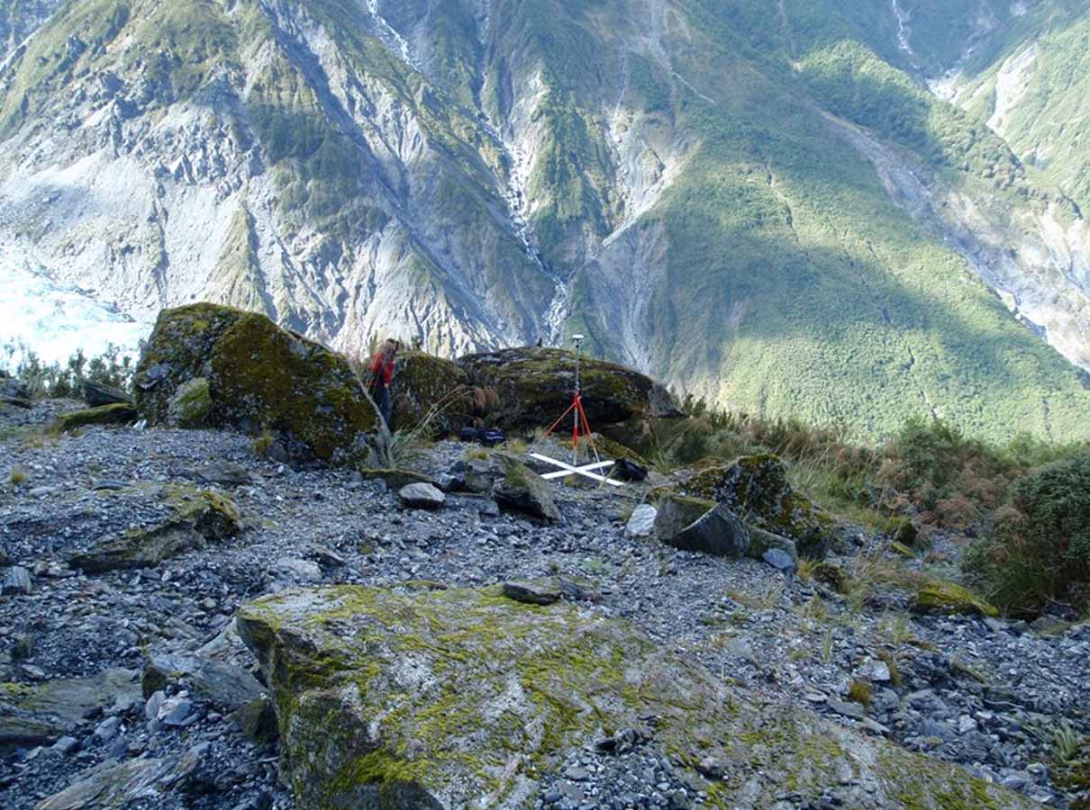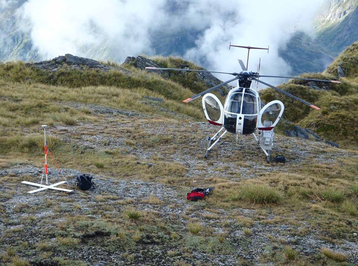
Aerial imagery was used to capture topographical information across a large area of challenging terrain at Fox Glacier, on the West Coast.
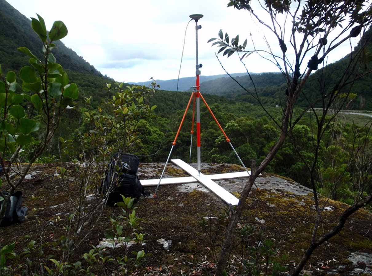
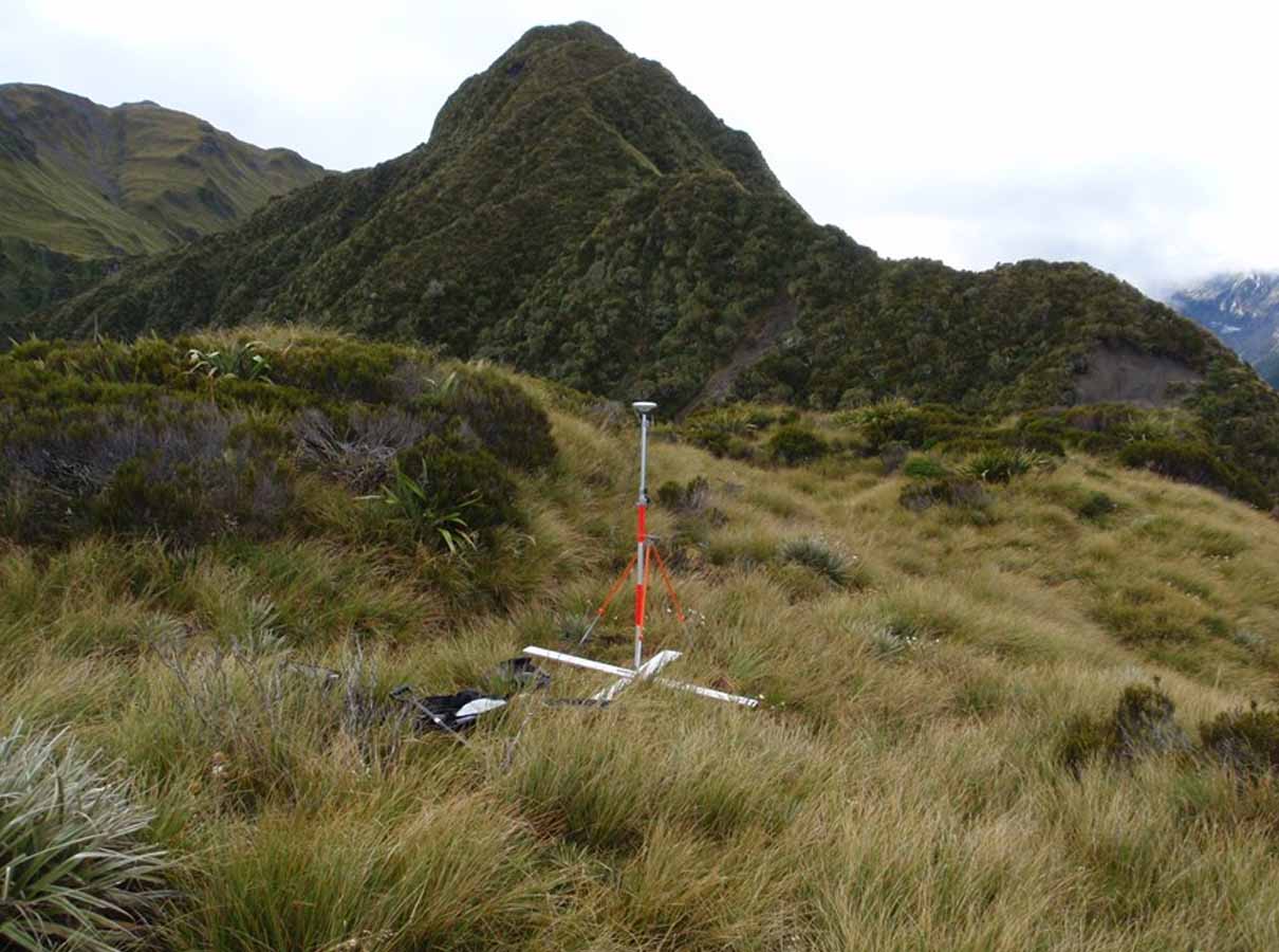
We established numerous photo control ground points to reference that imagery accurately, anchoring the aerial survey to real-world positions and underpinning the accuracy of the finished mapping.